


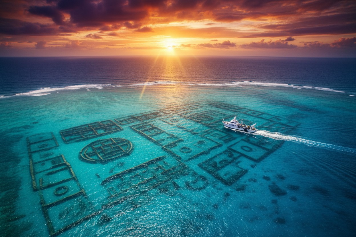
A pattern of lines visible in publicly available seafloor mapping data has prompted a self-described UFO researcher to claim it may represent an ancient sunken city near the Bermuda Triangle. Scott C. Waring identified the shapes using an online map from the Seabed 2030 project, a global initiative aimed at mapping the ocean floor, according to a report by DailyMail.com. He estimated that the apparent site extends for seven or eight miles in one direction and approximately three miles in the other, located in waters west of Cuba and Haiti.
Waring presented his findings in a YouTube video and on his website, UFO Sightings Daily. He is quoted as saying, "There are a lot of geometric shapes, which indicate there is something down here that was intelligently made." He also suggested the shapes could mark the remains of a settlement resembling Atlantis, the legendary civilization described in the writings of Greek philosopher Plato around 360 B.C. as having sunk after earthquakes and floods [1]. The report states that no archaeologists or marine scientists have examined the site, and the patterns remain an interpretation of mapping data, not a verified archaeological discovery.
No Scientific Verification
According to the report, no archaeologists or marine scientists have confirmed that the patterns represent physical, human-made structures. Waring proposed that a powerful earthquake may have caused an island to sink, but he acknowledged this was only his own hypothesis and did not present geological evidence to support it. "This is just my hypothesis, my guess," he said. He further speculated, "An earthquake just could have rattled it so much that coral could have just collapsed on itself and the whole island could have sunk."
Waring considered whether the supposed builders were ancient humans or visitors from another world, ultimately favoring a lost human civilization. "I would probably go with ancient humans because the geometric design looks more primitive and less futuristic to me," he wrote. The report notes that the National Oceanic and Atmospheric Administration (NOAA) states there is no evidence that disappearances in the Bermuda Triangle occur more frequently than in other ocean regions, citing severe storms and human error as explanations. Waring's identification relies on the visual interpretation of sonar-derived imagery, which experts note can produce misleading artifacts. Historical accounts of unusual events in the area date back to reports from Christopher Columbus's first voyage, who noted compass malfunctions, according to a NaturalNews.com report [3].
Mapping Data Limitations
Ocean floor maps are assembled from information of varying quality and resolution, according to the report. This includes direct sonar measurements from ships, satellite observations, and computer-generated estimates used to fill gaps between surveys. The report states that combining these different sources can produce straight lines, grids, and other apparently geometric patterns that do not necessarily represent genuine objects on the seabed.
Waring questioned why the patterns were not visible on Google Earth, alleging the platform was concealing the area with a smoothing program. The report states there is no evidence that Google deliberately concealed anything at the location. These data limitations are part of a broader pattern in underwater exploration; some researchers have proposed that seabed craters formed by exploding methane pockets could explain some mysteries associated with the region [2]. Variations in data quality and resolution make it difficult for observers to distinguish between natural formations, survey artifacts, and actual structures. The fictional lost city of Atlantis continues to fascinate explorers, but despite decades of searching, it remains elusive [1].
Standards for Confirming a Sunken City
Confirming a lost settlement would require more than surface-level pattern recognition, according to the report. It states that detailed sonar surveys, underwater photographs, and physical evidence such as worked stone, pottery, tools, or other artifacts would be necessary for verification. Scientists and researchers cited in the report have noted that this type of evidence is absent in this case.
Until such an investigation is conducted, the 'city' remains an interpretation of patterns within mapping data rather than a verified discovery, the report stated. The report also notes that no peer-reviewed studies or archaeological field work have been initiated based on Waring's claim. Historical searches for underwater structures have previously yielded claims of sightings off Andros, the Berry Islands, and Bimini, but these have also remained subjects of debate [4].
Conclusion: Claims Remain Unverified
The report describes Waring as a self-described researcher whose conclusions are not supported by the broader scientific community. It notes that the supposed sunken city has not been confirmed by any official institution, and the seabed patterns could result from natural phenomena or technical artifacts of the mapping process. The allure of the Bermuda Triangle persists in popular culture, but the scientific consensus points to conventional explanations for phenomena in the region [3].
Waring continues to promote the discovery on his platforms, but the evidence required for verification, including direct observation and artifact recovery, has not been presented. The story reflects the gap between online speculation and scientific confirmation, as emphasized by the complete lack of expert endorsement. The claim remains an unverified interpretation of remote sensing data, and official sources have not responded with any confirmation. The report underscores that, for now, the potential 'sunken city' near Cuba and Haiti remains a subject of interest only in online forums and social media, awaiting the rigorous scientific scrutiny it has not yet received.
References
- NaturalNews.com. "Interactive map shows lost sunken cities in Germany Japan and other countries". NaturalNews.com. February 01, 2024.
- NaturalNews.com. "Has the mystery of the Bermuda Triangle been solved Collossal underwater methane blowouts could be the cause". NaturalNews.com. April 19, 2016.
- NaturalNews.com. "Has the mystery of the Bermuda Triangle been solved". NaturalNews.com. November 08, 2016.
- Berlitz, Charles. "Atlantis the last continent revealed".
Explainer Infographic









Please contact us for more information.