Preppers who've decided to bug out typically seek the wild. But while living off the grid provides security with the remote location, the environment is not easy to navigate as there are no clear signs and pathways that could tell you your precise location. The wild is vast; it could be enervating trying to find your way only to circle back to where you started.
Fortunately, modern navigational tools are around to help backpackers with directions. When deciding on what tools to bring with you, you first need to consider what kind of information you're looking for. At the most basic, you'll need to know:
- The time
- Your precise location
- Bearing
- The altitude if you're on a mountainous area
To obtain each piece of information, you'll need the following tools. (h/t to AndrewSkurka.com)
Time
Knowing the time is useful for planning mid-day breaks and camps. It can also help you estimate your location by tracking how long you've traveled since your last determined position.
For these functions, you need only a basic $15 dollar watch. However, you could also spend more if you're looking for a watch with a more comfortable band, positive display, back-lighting or glow-in-the-dark hands and scratch-resistant face. You could also tell the time using an ABC watch, a three-point navigation tool that serves as a barometer, altimeter and compass.
It's best to use a wristwatch for telling time as it’s more convenient than a pocket device.
Location
GPS technologies have evolved considerably in the past several years. Besides pinpointing your precise location, they could also store a library of backup maps and images.
You have four GPS options:
- GPS watch
- Smartphone with a GPS app
- Handheld GPS
- Satellite messenger
Though a GPS watch is convenient and accessible, its functionality may be limited as it has a small low-resolution screen, low-quality map and rudimentary buttons.
A smartphone, on the other hand, performs the same functions but is better at some of them. For instance, it's more effective at pinpointing your location, as well as creating and navigating to waypoints. It can be your sole GPS or act as a supplement to your GPS watch.
Meanwhile, a handheld GPS and a satellite messenger share almost the same functionality. They're considered behind their GPS peers. A satellite messenger, however, may come in handy as it's capable of transmitting signals that you can use to communicate even if there's no cellphone coverage.
Bearing
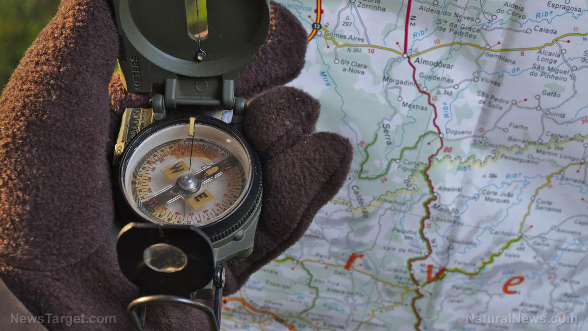
If you need to find a bearing, or the measurement of direction between two points, you can purchase an inexpensive baseplate compass. You could also use a keychain compass or an ABC watch. However, these two devices are prone to make navigational errors or are not user-friendly.
GPS devices like a handheld GPS unit and a smartphone with a GPS app could also fulfill the functions of a compass. These devices are faster and more accurate than using a map and compass. However, they're not ideal if you want to transpose a bearing in the field onto a map. They also operate on batteries, so they will run out of charge.
Altitude
Altitude information is useful as it allows you to:
- Determine false summits and passes
- Double-check uncertain landmarks like an unmarked trail junction
- Maintain elevation
- Confirm your location on a map by cross-referencing current altitude with nearby topographic features, such as a creek confluence
You can measure altitude using a GPS watch, a smartphone with a GPS app and a handheld GPS unit. If you like to check your elevation regularly, a GPS watch will work best for you. (Related: Prepping for SHTF: Top gear you need.)
Keep in mind that altitude is less useful when you're in a flat landscape like Nebraska or southern Utah. In addition to these tools, you'll also need a pen or two to jot down notes and make markings on your map.
Bugging out to safety by going off-grid will require a long, winding trek into the wild. Gear yourself up with these tools to avoid getting lost.
Sources include:
Please contact us for more information.


