The U.S. may have to deal with more storms and dry conditions as a La Niña brews in the Pacific Ocean.
The National Oceanic and Atmospheric Administration (NOAA) said that surface temperatures in the Pacific have dropped to below-average levels, indicating that a La Niña is on the horizon. They also stated that there’s also a big chance that the extreme weather pattern would persist until winter next year.
With a La Niña looming, states experiencing dry, warm conditions may have to brace for worse weather while areas recently affected by hurricanes may see more rain than usual.
The news comes as wildfires in California continued to rage in the wake of the heatwave over the Labor Day weekend, while a majority of the western United States experienced at least moderate levels of drought in August.
Meanwhile, the Gulf Coast is still reeling from the aftermath of Hurricane Laura, which claimed nearly 30 lives.
La Niña to bring more storms, dry conditions
According to NOAA, temperatures dropped across the eastern and central Pacific regions in August while atmospheric circulation exhibited anomalies over the surface. A La Niña typically begins with the buildup of below-average subsurface waters in the tropical Pacific, leading to stronger easterly winds and colder surface temperatures.
A La Niña triggers weather changes in major parts of the globe, including North America. The northern half of the U.S. mainland typically experiences more rain and colder temperatures while the southern half experiences drier and warmer conditions.
According to Michelle L’Heureux of NOAA’s Climate Prediction Center (CPC), “The current NOAA CPC outlook for the upcoming winter is showing a tilt toward drier conditions for the southern tier of the U.S. and wetter conditions over the northern tier of the U.S.”
La Niña can aggravate existing weather conditions in many states. The U.S. Drought Monitor reported that about a third of the nation endured at least moderate levels of drought in August. Most of the affected areas were in the mid- and the southwestern U.S., such as Utah, Colorado, Nevada and New Mexico. More than 93 percent of these four states were experiencing some level of drought.
Meanwhile, more than half of California is experiencing drought. The state went through a heatwave over the Labor Day weekend, which saw temperatures rise and caused demand for electricity to skyrocket. The California Independent System Operator recently issued an Emergency Alert warning of possible rolling blackouts if residents do not conserve energy. No blackout occurred and the alert was eventually lifted at night.
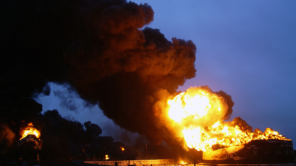
As the state’s wildfires have burned across more than two million acres of land, rainfall will provide firefighting efforts a much-needed boost. But with La Niña looming, several areas are predicted to receive less rain, which, along with the Santa Ana winds, may exacerbate the wildfire season. (Related: California wildfires burn record-breaking 2 million acres (and counting).)
“This time of year, the Southwest is typically dry, and the onset of La Niña will likely not change this expectation,” explained L’Heureux.
The CPC’s latest drought outlook also suggested that drought conditions in the southwest may continue and even worsen going into the fall. Also, the most significant effects of La Niña are usually not felt until the winter months, added L’Heureux.
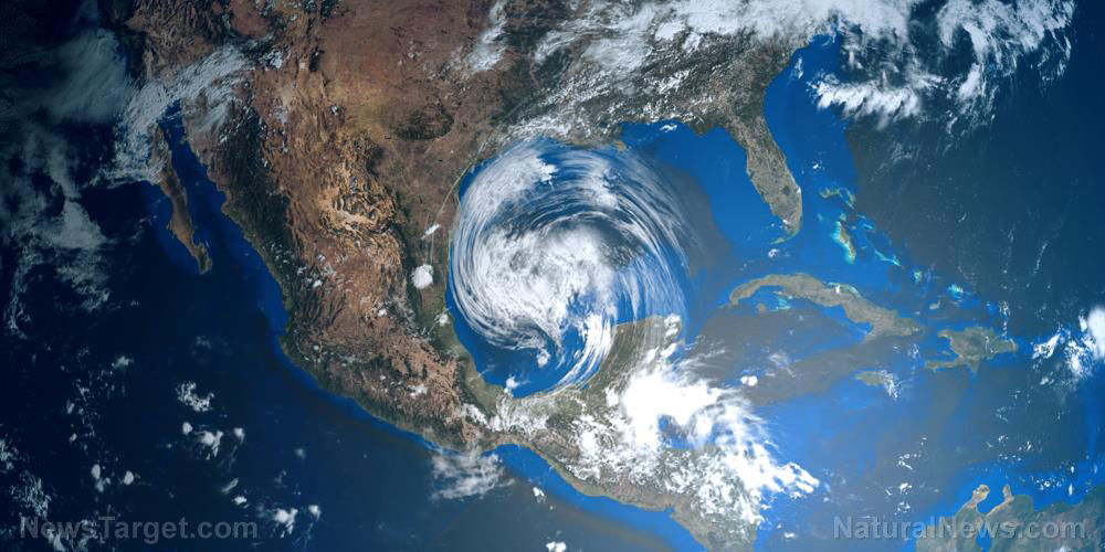
La Niña can also raise the number of storms forming in the Atlantic. Hurricane Laura recently hit the Gulf Coast, forcing evacuations in Louisiana and Texas as winds blew at 150 miles per hour. The hurricane recorded its 27th death when a 58-year-old woman from Rapides Parish in Louisiana died due to a heat-related illness. Authorities said that the woman was inside a trailer without electricity.
As La Niña brews in the Pacific, many states may have to ramp up preparations to mitigate losses.
Climate.news has more on extreme weather conditions.
Sources include:
Please contact us for more information.


