


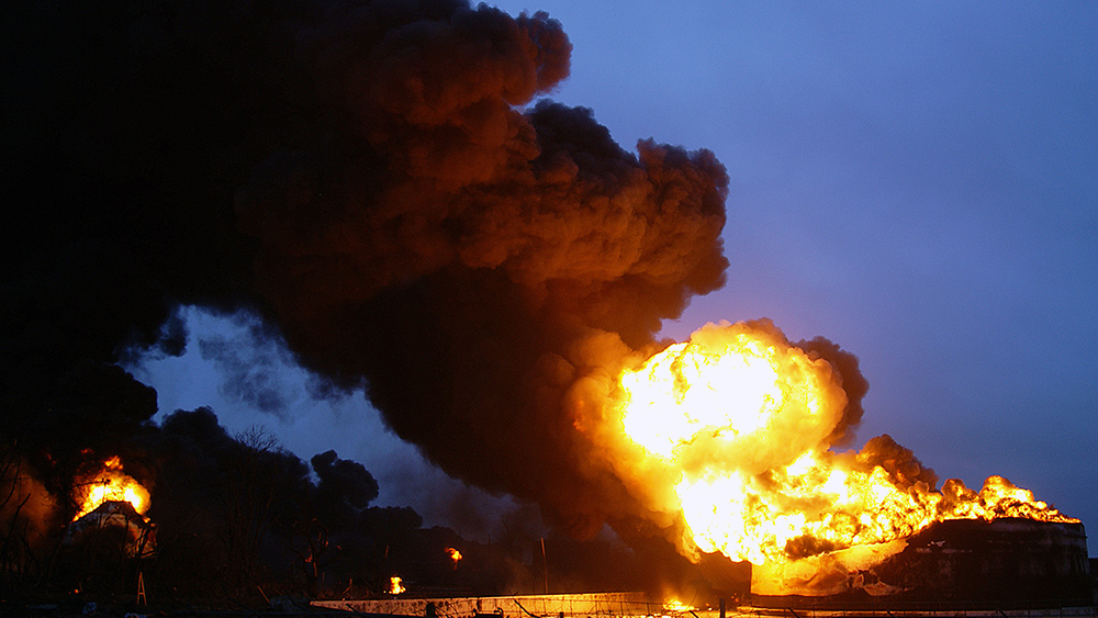
California's intense wildfires are generating massive pyrocumulus clouds that bring strong, high winds and dry lightning, potentially stoking the flames that created them.

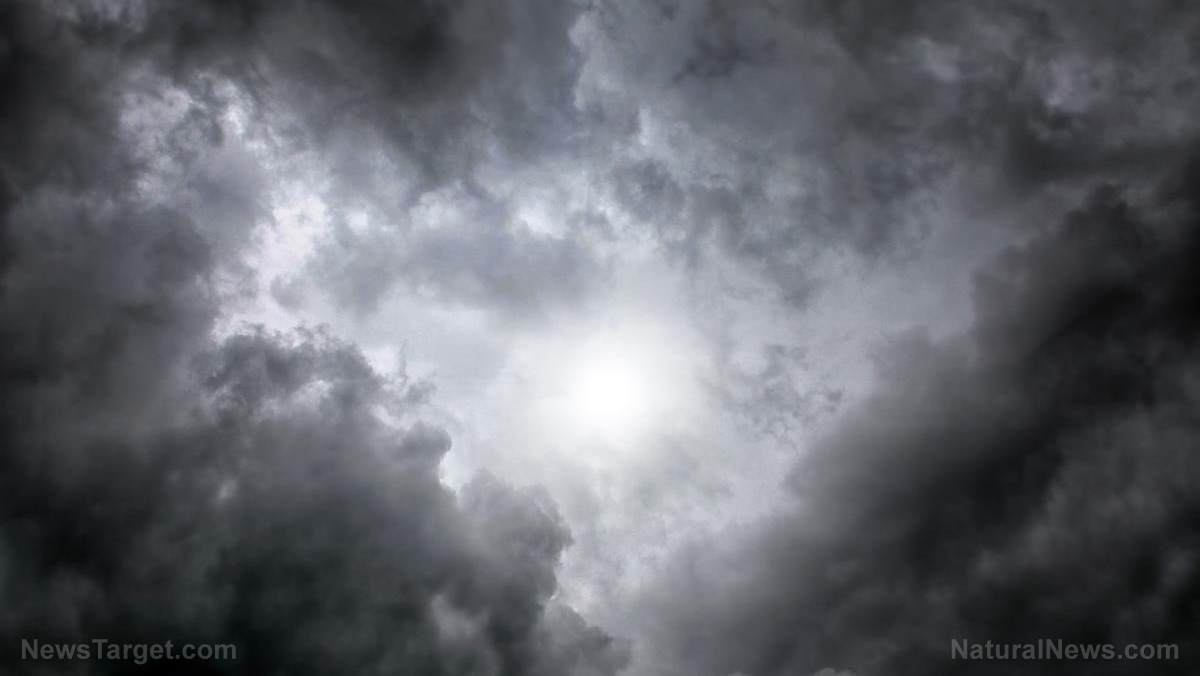
Experts said that the fires are so intense that they’re making their own pyrocumulus cloud systems. The clouds can be seen as wide, spectacular columns of dark gray smoke in the sky. They stretch vertically for a couple of miles and resemble the thick plumes of smoke generated by strong volcanic eruptions.
One extreme form of pyrocumulus cloud was recently captured by the National Aeronautics and Space Administration (NASA)'s Suomi NPP satellite. The cloud was observed from Sept. 5 to 7 and was seen thickest on Sept. 6. NASA said that the cloud was formed by Creek Fire, which is burning in the Fresno and Madera side of the Sierra Forest Park. Creek Fire is currently the largest active wildfire in California.
Pyrocumulus clouds, with its strong winds and potential to generate dry lightning, make firefighting efforts more difficult.
How pyrocumulus clouds are formed
Pyrocumulus clouds are also known as flammagenitus or fire clouds. The name "pyrocumulus" and "flammagenitus" originated from the fact that these clouds are generated by fires and explosions, such as wildfires and volcanic eruptions.
Volcanic eruptions account for many of the observed pyrocumulus clouds. Such clouds are usually black or dark brown in color while clouds formed by wildfires are usually dark gray due to smoke and ash.
The formation of pyrocumulus clouds is underpinned by the same processes that generate normal clouds. A heat source warms up the earth, causing water to evaporate and rise into the atmosphere. Water vapor cools and condenses into clouds.
However, pyrocumulus clouds are formed much more quickly than normal clouds. In wildfires, for example, the intense heat evaporates the moisture out of vegetation. The resulting water vapor accumulates on smoke particles and rapidly condenses as it rises, creating these clouds.
Firefighting authorities are wary of pyrocumulus clouds, as they can come with strong winds that can exacerbate fires. This happens when they form and change very rapidly, which, combined with the intense heat of fires, can lead to abrupt temperature swings in the atmosphere that produce severe winds.
These clouds can also develop into pyrocumulonimbus clouds. They occur when there's a lot of water vapor in the atmosphere, generating thunderstorms that often come with lightning and rain.
In dry thunderstorms, however, extremely hot and dry conditions evaporate rain before it reaches the ground. Therefore, areas covered by pyrocumulonimbus clouds receive mostly dry lightning, potentially sparking new fires and exacerbating current ones.
Heatwave worsens fires
California experienced a heat wave over the Labor Day weekend that saw temperatures rise to above 100 degrees, according to the National Weather Service.
Temperatures reached 125 degrees in the Death Valley, one of the hottest locations in the United States. Many areas also broke the record for the hottest temperature in their respective counties, such as Woodland Hills, San Luis Obispo and Paso Robles.
While the heatwave is already over, its effects are still felt throughout the state after major fires broke out over the weekend. One of these is Creek Fire, which started on Friday and exploded to almost 79,000 acres by Labor Day. (Related: Past fire control efforts have interfered with the natural ecosystem of forests, increasing the risk and intensity of wildfires.)
It generated a massive pyrocumulonimbus cloud that soared over nine miles to the sky. Thunder was heard in the vicinity while the sky in Huntington Lake turned dark red due to the giant cloud. Experts also said that the intensity of the fires lofted fire debris that's about one foot in diameter.
However, the thunderstorm did not bring any rain due to the extreme heat. And as of September 8, Creek Fire has spread to more than 150,000 acres with zero containment.
Climate.news has more on extreme weather events.
Sources include:


Please contact us for more information.