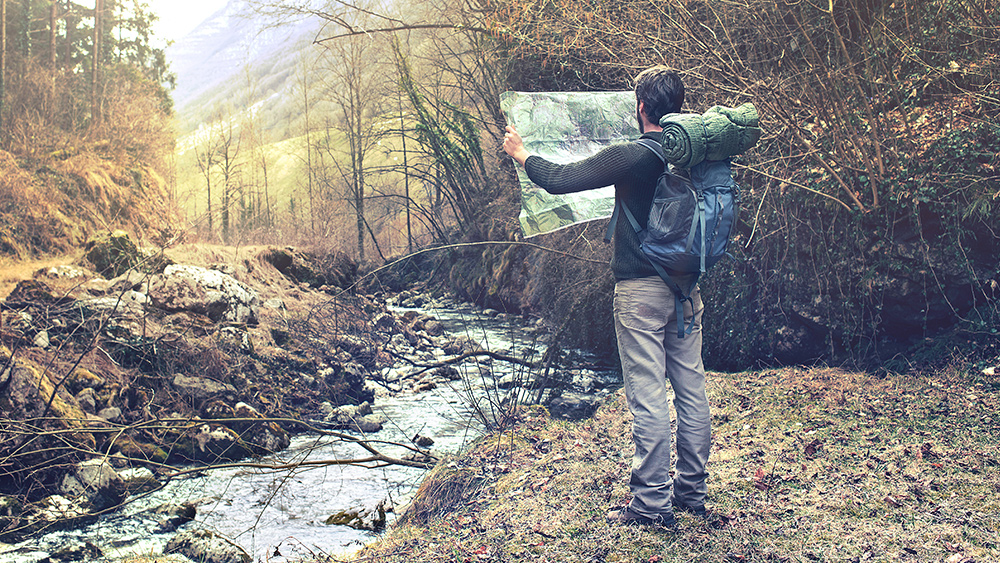
GPS technology is an invaluable innovation in our modern day and age. It allows us to conveniently navigate our way around unfamiliar areas with ease. However, it is not without its fair share of drawbacks. A GPS requires battery power. The device can be damaged. Sometimes, it may even experience glitches. The point is that while GPS technology is incredibly useful, it is also important not to rely on it too much. Doing so only diminishes our own internal navigation abilities. This is why it is important to have maps as a backup plan. You can hone your own navigation skills by learning how to read different kinds of maps. Here are a few essential maps you should always keep with you in case you need to bug out. (h/t to AskAPrepper.com.)
Maps require some amount of skill and practice to read, but they do have their uses. If an EMP attack were to happen, physical maps would not be affected, but your GPS would be rendered useless. However, not all maps are created equal, which is why you shouldn't just rely on a single map. Various kinds of maps provide different types of information. Using only one map can leave out key information only available on other maps. This is why you shouldn't take maps for granted when it comes to packing your bug out bag. (Related: Your Bug Out Bag Essentials.)
U.S.A. Road Atlas
This kind of map lets you have a good look at the big picture of where you want to go. The U.S.A. Road Atlas map shows you the whole country and is useful for deciding the general route you want to take and the places you might want to avoid. This is helpful during events such as epidemics or nuclear contamination, so that you have a good idea of how far away you need to travel to be safe from the danger zone.
State Road Maps
State road maps are more detailed than the U.S.A. road atlas maps. They can give you more options on the possible routes you might want to take to get to your bug out location. These maps show all the major roads, highways, and interstates within your entire state area. You can also find the minor routes here that don't appear on the U.S.A. road atlas. You will want to take these minor routes as much as possible because they tend to get less traffic. Most people will probably only be familiar with the major roads and will tend to congregate there.
Fire Road Maps
If you plan to bug out somewhere in the wilderness, then this map will be invaluable to you. Fire road maps are also known as forest service maps. They can provide you with the locations of different fire and logging roads that go through national forests and public lands.
Fish and Game Maps
This is another important map if your bug out location is out in the wilderness. If this is the case, you will likely have to hunt down animals or go fishing to acquire your food source. Hunting maps will tell you where to find deer and other game species, whereas fish survey maps will tell you where to locate the types of fish you are looking for. You can easily get these maps from your state fish and game agency or department.
Topographic Maps
When looking at your average map, it can be easy to think that most locations are equally accessible. The fact is that different areas can have varying geography. Topographic maps show urban areas, roads, water and terrain contours. However, you may first need to learn how to read contour lines as topographic maps require some skill to read. The best regional topographic maps available are are the U.S. Geographical Survey’s topographic maps.
If you want to learn more tips on bugging out, visit BugOut.news.
Sources include:
Please contact us for more information.


